Geographic Information Science (GIS)

Program Overview

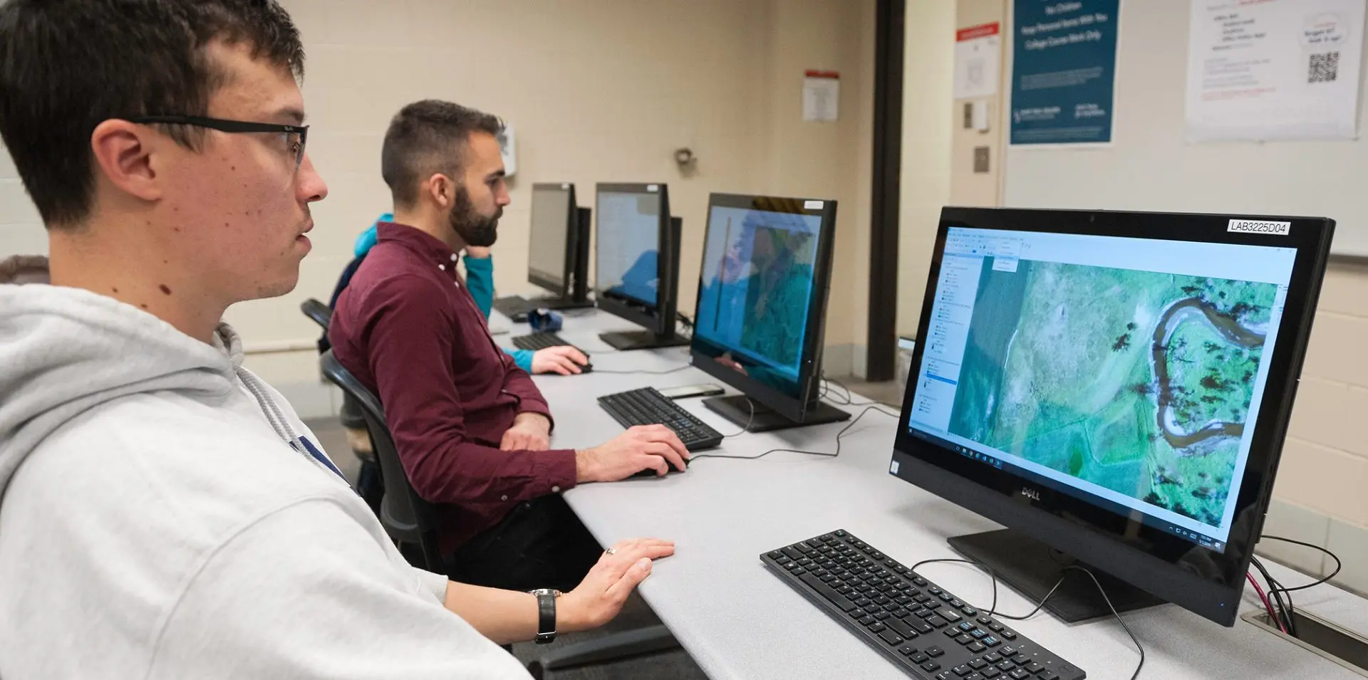
Geographic Information Science (GIS) combines the study of geography and technology to unlock powerful insights about our environment. Learning GIS helps you understand how geographic data is collected, modeled, and analyzed to solve real-world problems. You’ll develop a wide array of technical skills like mapping, data analytics, programming, and spatial analysis. You’ll be highly employable in various industries and equipped with the knowledge to make informed decisions about our planet’s future. 

AAS, Certificate

Photo of student on campus.
$76K

Median annual wage

5%

Projected job growth for the next decade

5:1

Student-to-faculty ratio

REASONS TO ATTEND SAINT PAUL COLLEGE

Expand Your Horizons

Upper-level classes allow students the flexibility to align their passions and interests in other disciplines and geographies with the GIS learning experience.  

Secure Top-Paid Internships and Jobs

Graduates have an excellent track record of earning paid GIS internships or jobs at various government agencies and businesses in the Twin Cities metropolitan area.  

Discover Local Treasures

Learn more about local geography as you continue to hone your GIS skills! Classes leverage interesting data and compelling examples from the great states of Minnesota and Wisconsin in many course activities. 

Photo of student on campus.
Photo of students in class.